Log in
All resources
Create a design
64 Free Artworks of Old Maps Of Belgium
bibliothèque nationale de france
maps by willem and johannes blaeu
atlas van loon
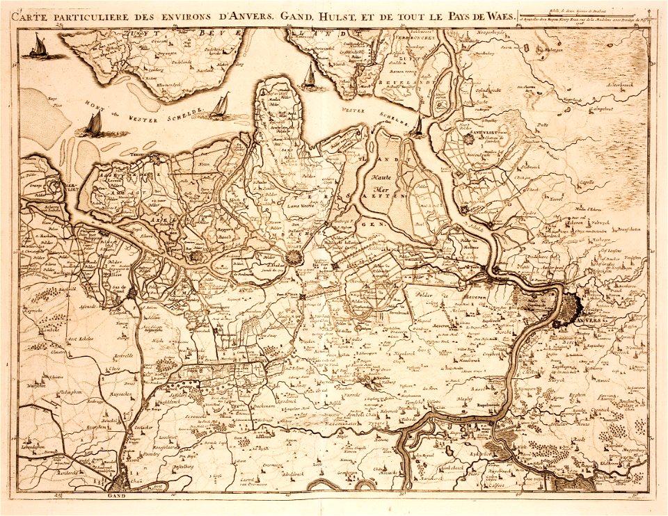
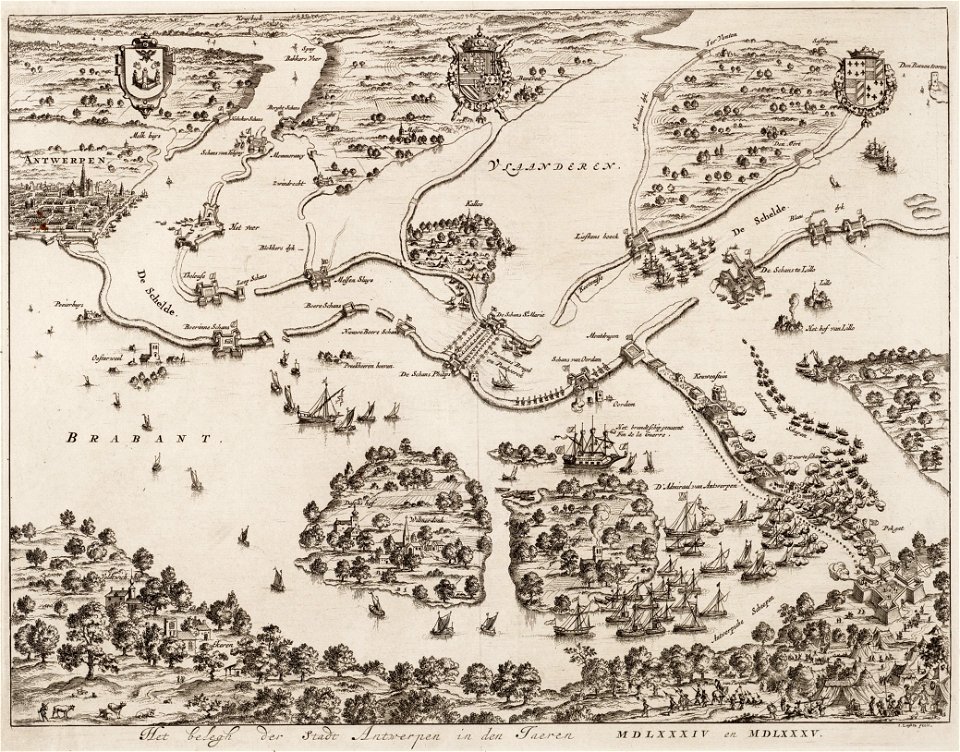
old maps of antwerp
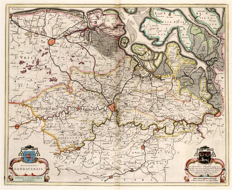
old maps of ghent
old maps of zeeland
maps of antwerp city walls
old maps of brabant
1666 in belgium
pieter verbiest (ii)
maps by homannsche erben
latin-language maps
old maps of luxembourg
1855 maps
1700s maps of belgium
old maps of lorraine
maps by abraham ortelius
latin-language maps
prints from manesson travaux de mars at the peace palace library
fortifications in belgium
dendermonde
lillo
flemish 16th-century prints in the rijksmuseum amsterdam
maps of antwerp city walls
merksem
lillo
prints in the royal collection of the united kingdom
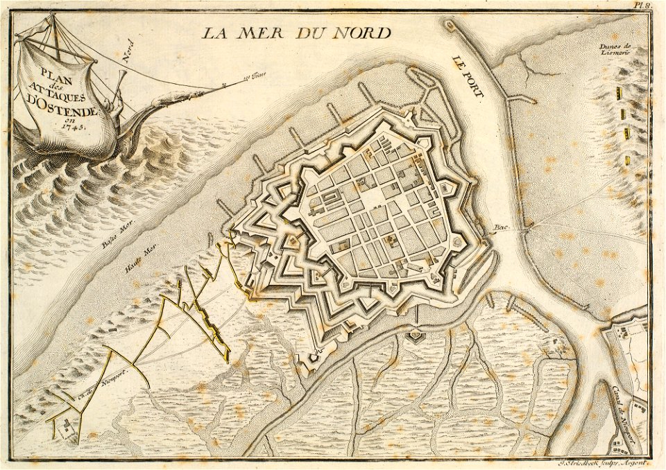
history of ostend
old maps of zeeland
western scheldt
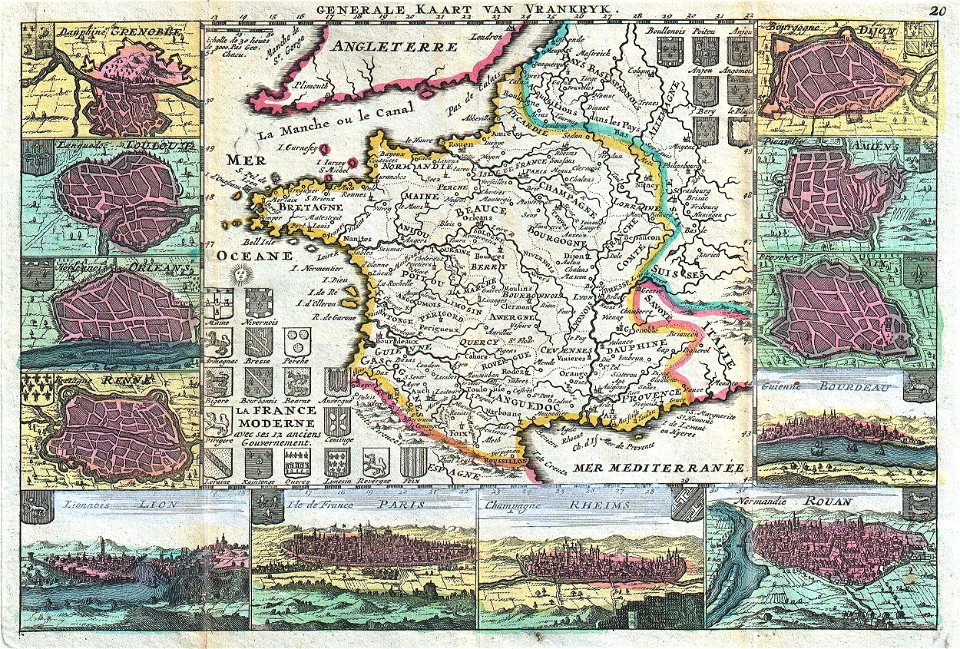
old maps of france
maps of reims
old maps of zeeland
atlas van der hagen
ekeren
lillo
old maps of brabant
1666 in belgium
1660s maps of belgium
old maps of bruges
maps by cornelis anthonisz.
1560 maps of europe
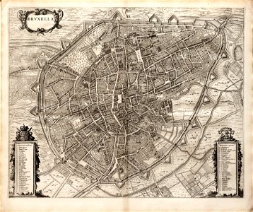
old maps of brussels
jacobus harrewijn
maps of the duchy of limburg
1645 maps of belgium
1660s maps of belgium
old maps of bruges
16th-century maps of the netherlands
16th-century maps of belgium
maps by willem and johannes blaeu
maps of the duchy of limburg
old maps of ghent
atlas van loon
map of ghent by jan blaeu
atlas van loon
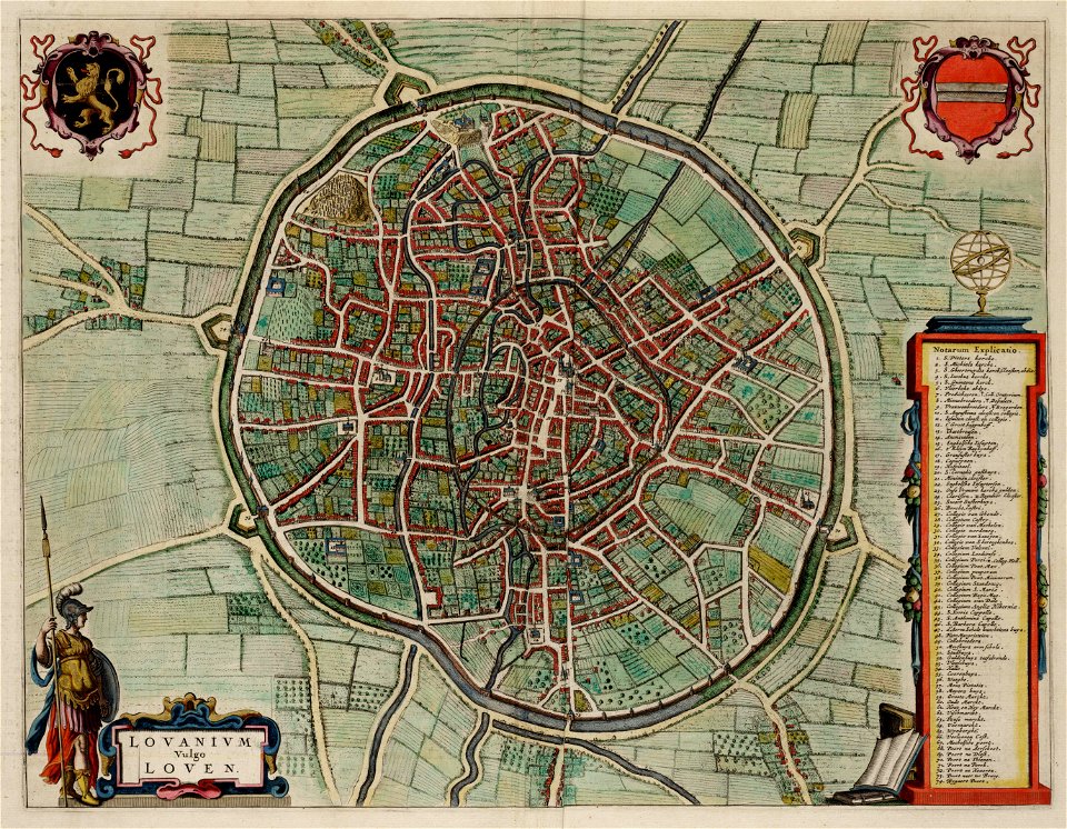
old maps of leuven
atlas van loon
1645 maps of belgium
tournaisis
lordship of mechelen
1645 maps of belgium
1590s maps of the netherlands
1590s maps of belgium
maps by pieter van der keere
old maps of north brabant
old maps of blankenberge
flandria illustrata
maps of brussels city walls
old maps of brussels
1580s maps of the netherlands
1580s maps of belgium
old maps of north brabant
1645 maps of belgium
engravings by jan luyken
old maps of antwerp
old maps of damme
atlas van loon
old maps of ostend
siege of ostend
old maps of brabant
1666 in belgium
old maps of spanjaardenkasteel
flandria illustrata
maps by pieter van der keere
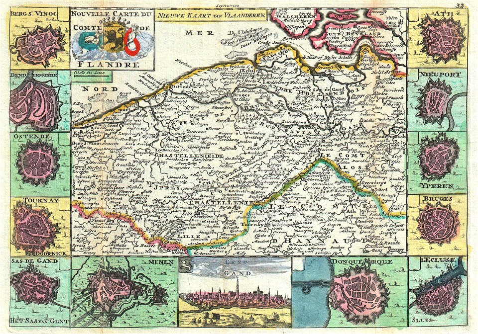
old maps of flanders
old maps of ghent by jacques horenbault
1619 maps
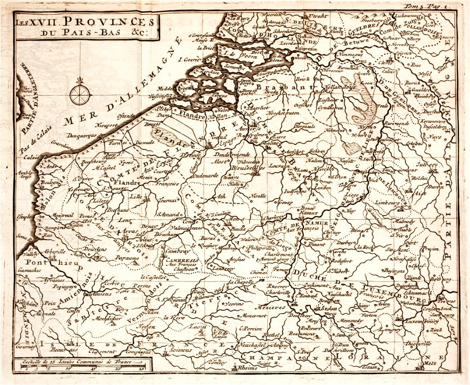
tresor des cartes geographiques (1659)
old maps of the benelux
pages of books about history
flandria illustrata
maps in the british museum
old maps of dunkerque
old maps of namur (province)
1640s maps of belgium
maps by willem and johannes blaeu
1640s maps of belgium
daniel de la feuille
dutch-language maps
maps by john cary
1799 maps
old maps of hainaut (province)
1590s maps of belgium
baptista van doetecum
jacques surhon
fortifications of charleroi
old maps of charleroi
maps by willem and johannes blaeu
old maps of flanders
spanjaardenkasteel
old maps of ghent
maps of ghent by braun & hogenberg
flandria illustrata
old maps of brabant
1666 in belgium
old maps of brabant
1666 in belgium
russo-turkish war (1877–1878) in art
great eastern crisis (1875–78)
old maps of ghent
jacques chereau
old maps of nova belgica et anglia nova
maps by willem and johannes blaeu
maps of brussels by braun & hogenberg
flemish baroque painting
castle of wijnendale
old maps of the history of france
daniel de la feuille
prints published by claes jansz. visscher (ii) in the rijksmuseum amsterdam
maps in the rijksmuseum amsterdam
prints by frans hogenberg in the rijksmuseum amsterdam
maps in the rijksmuseum amsterdam
maps in the rijksmuseum amsterdam
1690s maps of the netherlands
maps in the rijksmuseum amsterdam
1690s maps of belgium
1 - 64 of 64
/ 1


![Treasure of geographical maps of the main states of the universe [...], 1659](https://cdn.creazilla.com/illustrations/10000541161/treasure-of-geographical-maps-of-the-main-states-of-the-universe-1659-md.jpg)